100 Miles (almost) in the Smokies
Great Smoky Mountains Natonal Park
3-9 June 2010
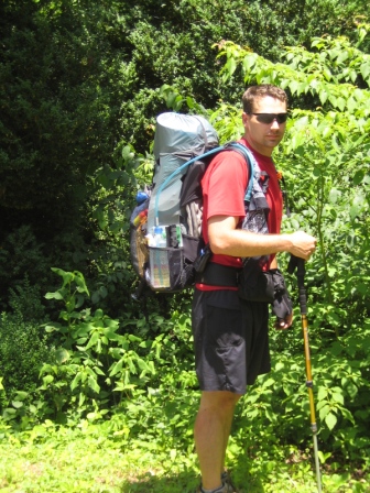
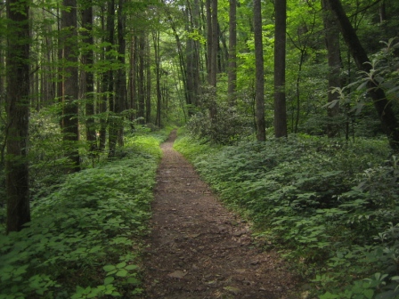
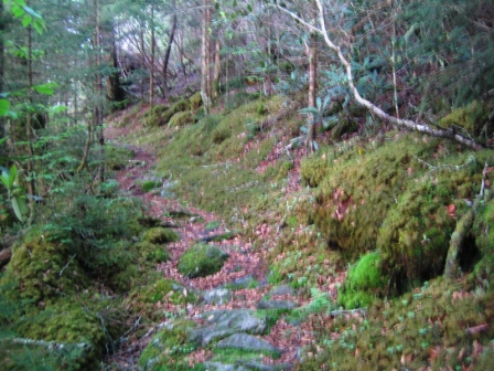
I ended up hiking the length of the park. My family dropped me off at Mt Sterling Ranger Station just off I-40 at the north end of the park, and I hiked a smattering of trails to get to Fontana Dam in the south. The mileage on the ATC map was consistently less than the mileage posted on the trail signs, but all told it was right around 100 miles...probably 97 or so.
- Mt Sterling Trail
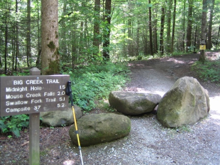
- Big Creek Trail
- Camel Gap Trail
- Gunter Fork Trail
- Balsam Mtn Trail
- Beech Gap Trail
- Hyatt Ridge Trail
- Enloe Creek Trail
- Chasteen Creek Trail
- Bradley Fork Trail
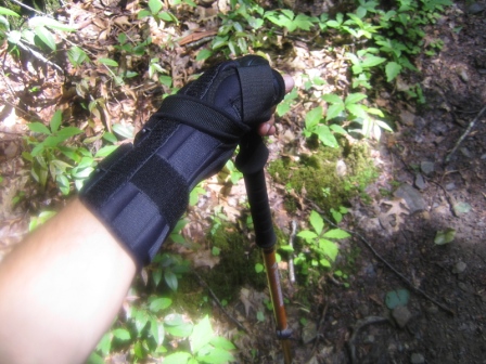
- Dry Sluice Gap Trail (this was a serious buttkicker and I ran out of water for about 4 miles)
- AT from Charlie's Bunyon to Clingman's Dome
- Clingman's Dome Bypass Trail
- Forney Ridge Trail
- Forney Creek Trail
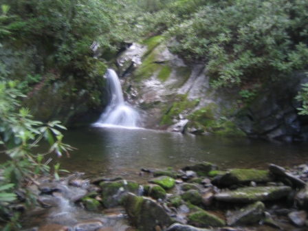
- Lakeshore Trail for the final 30-some miles...saw the most wildlife here
- Ended at Fontana Dam
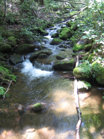
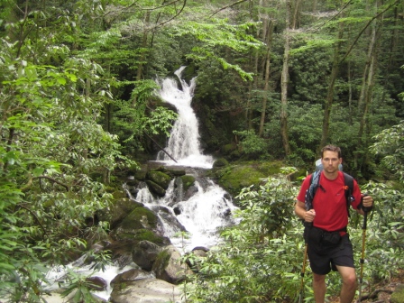
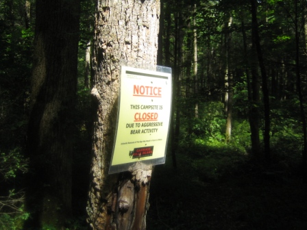
This was a great trip! I did some night hiking, saw some bears (one walked right thru the campsite and circled us all night), drank water right from springs, got rain-soaked and didn't care, sweated, thought about nothing and everything, used the Bushbuddy with wet wood every day, slept alone most nights, sweated some more, caught a snake, ate free smoked pork chops, bought two ice creams from the Fontana Dam gift shop, where the lady made me eat half her hamburger and most of her fries, and I took a glorious shower...then drove straight to FL for Megan's graduation.